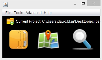
Geodbloc is an image database with geolocation features. Information stored with the image when the photo was taken is used to automatically show the location of the images on a map. Positions can be manually added or altered for images which don't already contain this information.
Extra information can be added and stored for each image (description, keywords etc) and custom fields added to each record.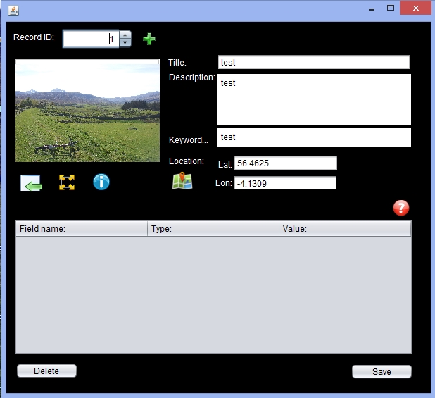
There is a built in EXIF viewer which allows you to view the tags created for the image by digital cameras.
You can view a clickable world map, showing all the locations of the images in the current project.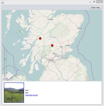
You may need Java 6 or newer. You can get the latest version here.
Download version 1.0 (Windows) - Download